

Table of Contents
Storm Summary
Regional Surface Observations
National Weather Service Forecasts
Surface Maps
Satellite Imagery
National Surface Weather Maps - Pressure and Fronts Only
Continental Surface Weather Maps - Pressure and Fronts Only
Sea Level Pressure and 1000 to 500 Millibar Thickness Maps
850 Millibar Maps
700 Millibar Maps
500 Millibar Maps
300 Millibar Maps
200 Millibar Maps
National Radar Imagery
Regional Radar Imagery
Fort Dix Doppler Radar Imagery
Storm Photos
STORM PHOTOS
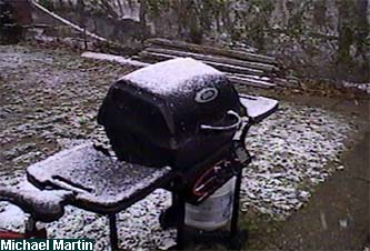
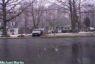
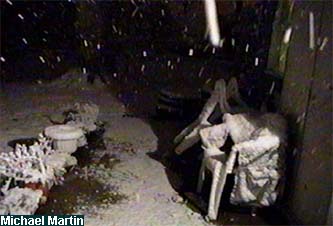
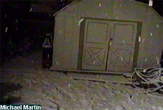
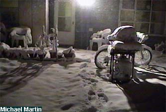
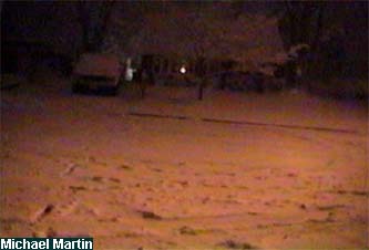
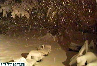
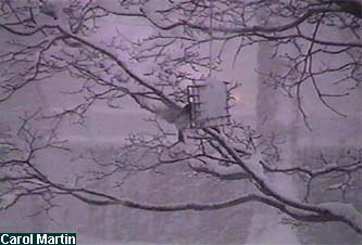
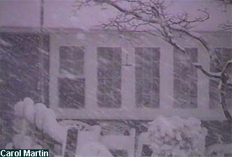
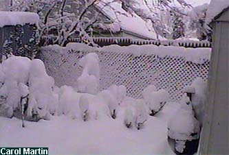
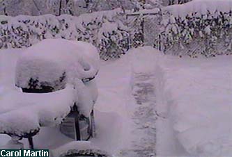
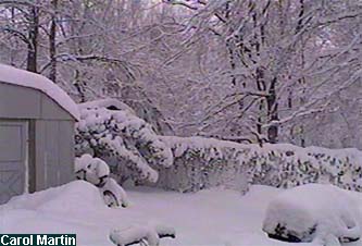
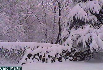
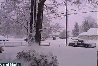
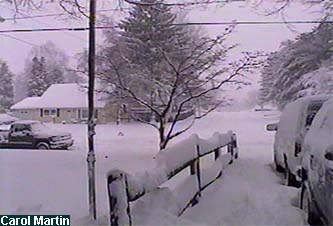
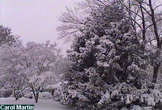
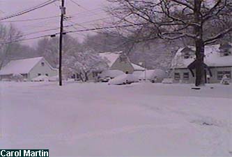
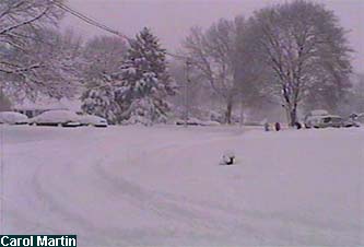
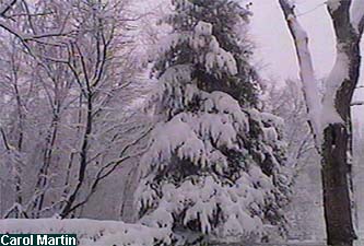
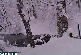
These pictures were taken around my hometown of Ewing, New Jersey during the snowstorm, which had dumped 13.1 inches of snow by the time the snow stopped.
The first set of pictures were taken with my grandparents' camcorder by my brother at around 3 PM EST February 11, 2006.
The second set of pictures were taken with my grandparents' camcorder by my brother at around 9 PM EST February 11, 2006.
The third set of pictures were taken with my grandparents' camcorder by my brother at around 3 AM EST February 12, 2006.
The fourth set of pictures were taken with my grandparents' camcorder by my mother at around 7 AM EST February 12, 2006.
The fifth set of pictures were taken with my grandparents' camcorder by my mother at around 10 AM EST February 12, 2006.

The sixth set of pictures were taken with my grandparents' camcorder by my mother at around sunset February 12, 2006.
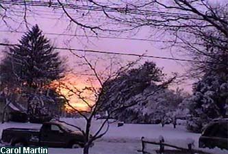
The seventh set of pictures were taken with a disposable camera by my mother at around sunset February 12, 2006.
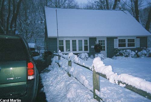
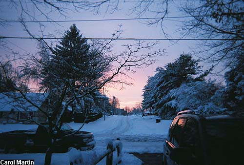
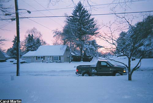
Table of Contents
Storm Summary
Regional Surface Observations
National Weather Service Forecasts
Surface Maps
Satellite Imagery
National Surface Weather Maps - Pressure and Fronts Only
Continental Surface Weather Maps - Pressure and Fronts Only
Sea Level Pressure and 1000 to 500 Millibar Thickness Maps
850 Millibar Maps
700 Millibar Maps
500 Millibar Maps
300 Millibar Maps
200 Millibar Maps
National Radar Imagery
Regional Radar Imagery
Fort Dix Doppler Radar Imagery
Storm Photos
Snow storm, December 5-6, 2005
Snow and ice storm, December 9, 2005
Snow storm, January 14-15, 2006
Snow storm, February 11-12, 2006
Back to Ray's Winter Storm Archive