

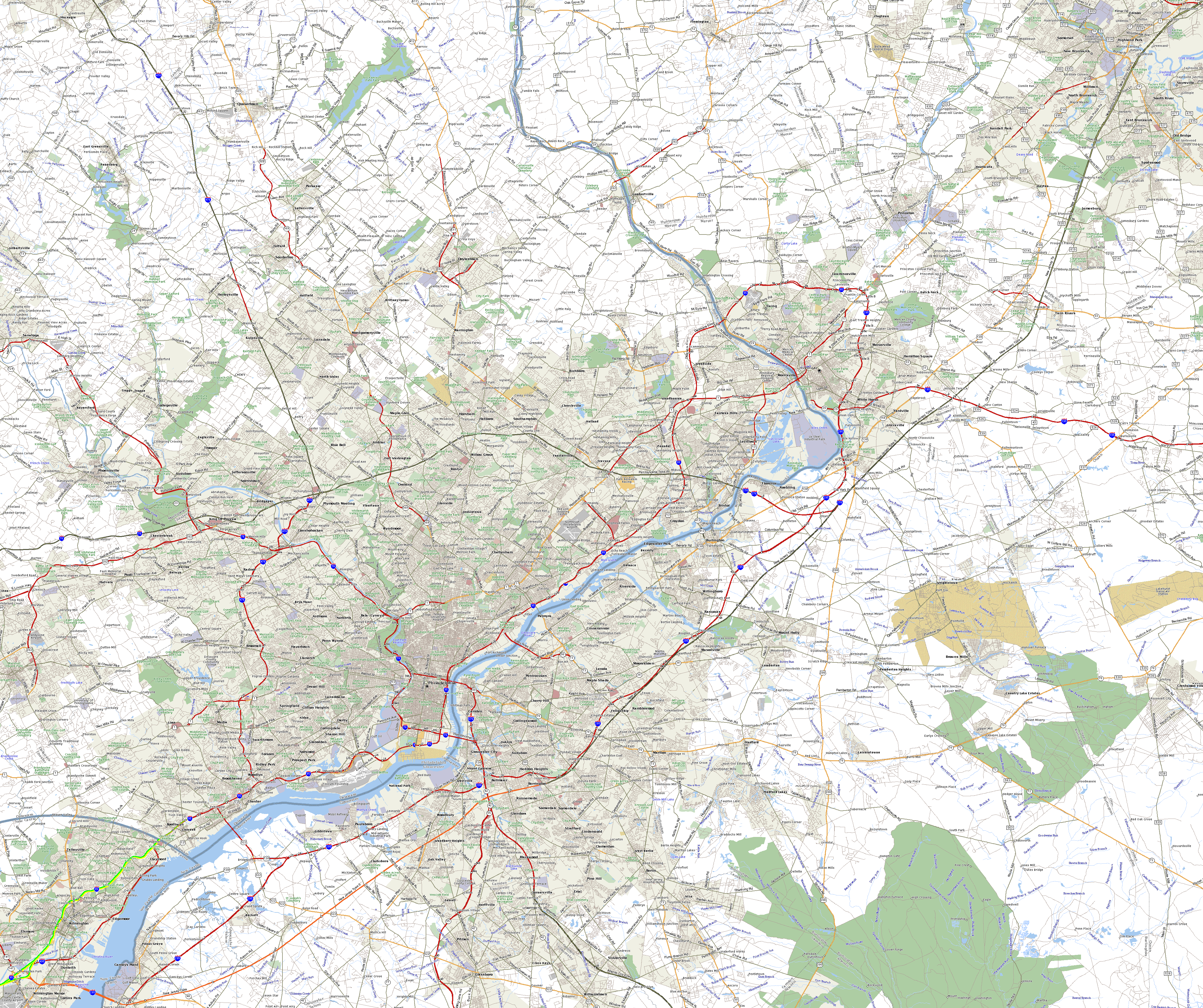
The pink is the original I-95. That is, the section of road built specifically to be I-95. It still is today, but once the interchange with the Pennsylvania Turnpike is built, most of it will be I-295. Hold on, I'll get to that...
The orange is the extentions of I-95 made in the mid-1990's. The extention of the original section, from the original end eastwards on the Camden Freeway to US 1, used to be I-295, and will be again. That was done in 1994 to encourage motorists who do travel up I-95 instead of the NJTP to take I-295 to I-195 to the NJTP. This is the section of yellow on those roads, labelled 'To I-95' because that's what the signs say. I refer to this section as the "Western Route" of I-95, because that's what it basically is.
The orange extention down most of the New Jersey Turnpike and the New Jersey Turnpike Pennsylvania Extension is in preparation of the new interchange. The yellow section connected to that which continues a bit further west on the Pennsylvania Turnpike Delaware River Extension, and then continues down the Bristol Pike and up New Rodgers Road to the original I-95, is signed as 'To I-95' on the Bristol Pike exit ramps from the PATP. I refer to this section as the "Eastern Route" of I-95, because that's what this is, too.
The aquamarine section, and the yellow to its right, will be the official I-95. This is because of an interchange that will (hopefully) be built at the I-95 / I-276 intersection, which is expected to (hopefully again) be completed by 2015, with the I-95 connection and designation (hopefully again) completed by 2005.
Map 1: I-95 Corridor Shifts, 1954 - 1982
Map 2: Adopted Route, 1964
Map 3: Re-extended Route, 1968
Map 4: Connectors Added, 1976
Map 5: All Considered Alignments, 1979
Map 6: Preferred Alternative Schematics and Exit List, 1979
Map 7: Exit Number Changes, 1984 - 1996
Map 8: I-95 Gap Corridor Today
Map 9: The Future I-95/I-276 Interchange
The I-95 Gap Eastern Bypass
The I-95 Eastern Route
The I-95 Western Route
The I-95 Gap Western Bypass
Back to New Jersey Expressways and Tollways