![]() |
![]() |
![]() |
![]() |
![]() |
![]() |
![]() |
![]() |
![]() |
![]() |
![]() |
![]() |
![]() |
![]() |
![]() |
![]() |
![]() |
![]() |
![]() |
![]() |
![]() |
![]() |
![]() |
![]() |
![]() |
![]() |
|
 |
|
|
 |
|
|
Storm description, surface observations, snowfall totals, and images courtesy of the National Climatic Data Center, the National Centers of Environmental Prediction, the Climate Prediction Center, the Hydrometeorological Prediction Center, the Mount Holly National Weather Service Office, the Upton National Weather Service Office, Rutgers University, Plymouth State University, the University of Illinois, the American Meteorological Society, Weather Graphics Technologies, AccuWeather, and the Weather Channel.
|
|
|
Table of Contents
Storm Summary
Regional Surface Observations
National Weather Service Forecasts
Surface Maps
Satellite Imagery
Sea Level Pressure and 1000 to 500 Millibar Thickness Maps
850 Millibar Maps
700 Millibar Maps
500 Millibar Maps
300 Millibar Maps
200 Millibar Maps
National Radar Imagery
Local Radar Imagery
Fort Dix Doppler Radar Imagery
Storm Photos
|
|
|
STORM PHOTOS
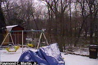
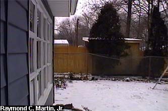
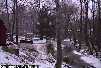
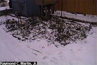
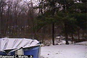
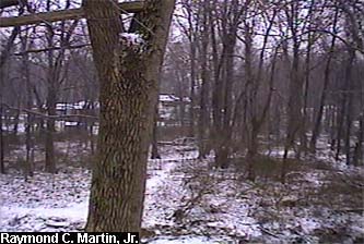
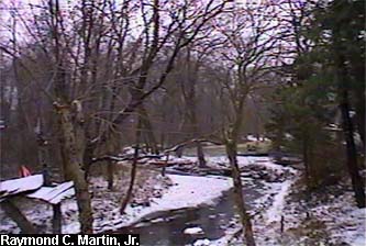
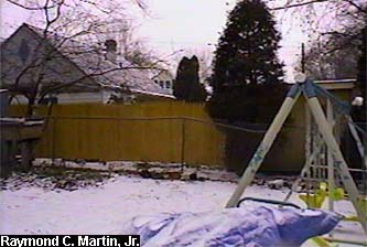
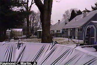
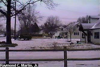
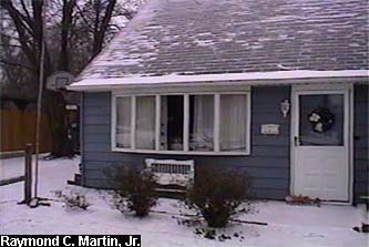
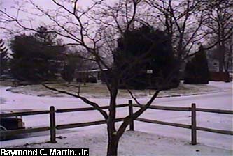
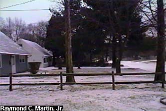
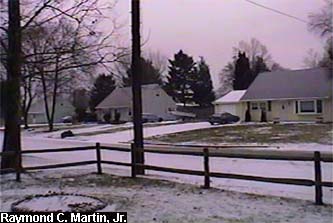
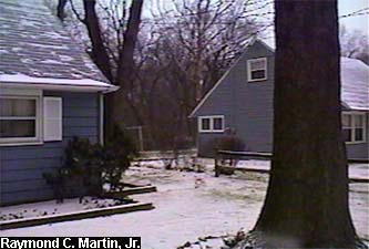
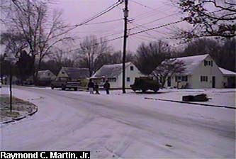
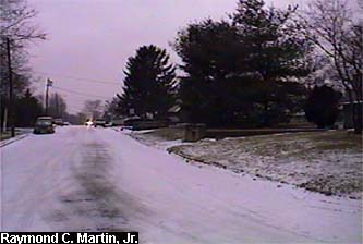
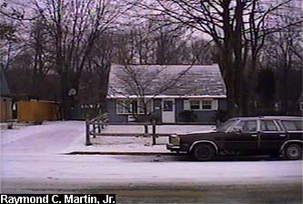
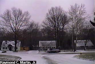
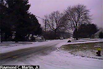
The following pictures were taken with my grandmother's camcorder around my hometown of Ewing, New Jersey at various times on January 14 and January 15, 1999. 1.0 inch of frozen precipitation accumulated by the end of the storm, including 1/2 inch of sleet and 1/2 inch of glaze from freezing rain.
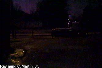
The first set below was taken around 4 PM EST January 14, 1999 while sleet was falling.
|
|
 |
|
 |
|
 |
|
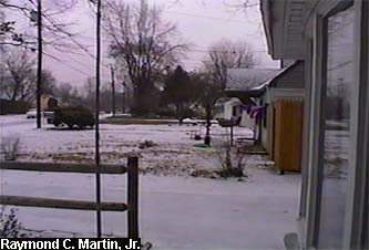
View north from the front door
|
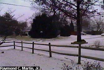
View northwest from the front door
|
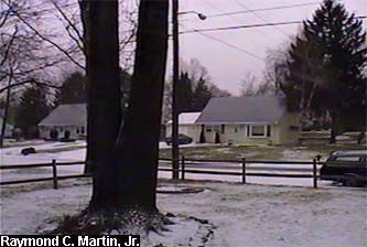
View southwest from the front door
|
|
 |
|
|
 |
|
 |
|
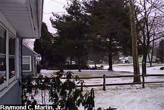
View south from the front door
|
View north from the back door
|
View northeast from the back door
|
|
|
 |
|
|
 |
|
 |
|
View southeast from the back door
|
View of my garden from the southeast side
|
View northeast from the far back yard
|
|
 |
 |
 |
|
View east from the far back yard
|
View southeast from the far back yard
|
View north from the back yard
|
|
 |
|
 |
|
 |
|
View south from the back yard
|
View northeast from the front yard
|
View north from the front yard
|
|
 |
|
 |
|
 |
|
View northwest from the front yard
|
View southwest from the front yard
|
View south from the front yard
|
|
 |
|
 |
 |
|
View southeast from the front yard
|
View north from the street
|
View west from the street
|
|
|
 |
 |
|
 |
|
View south from the street
|
View east from the street
|
View of the house from Dunmore Avenue
|
|
|
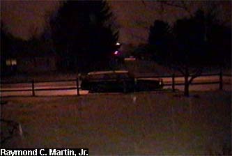
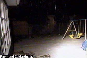
The second set below was taken around 10 PM EST January 14, 1999, while sleet was still falling.
|
|
|
 |
|
|
 |
|
|
View north from the back door
|
View west from the front door
|
|
|
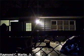
The final set below was taken around 5 AM EST January 15, 1999, while freezing rain was falling.
|
|
|
 |
|
|
 |
|
|
View west from the front door
|
View of the house from the far back yard
|
|
|
Table of Contents
Storm Summary
Regional Surface Observations
National Weather Service Forecasts
Surface Maps
Satellite Imagery
Sea Level Pressure and 1000 to 500 Millibar Thickness Maps
850 Millibar Maps
700 Millibar Maps
500 Millibar Maps
300 Millibar Maps
200 Millibar Maps
National Radar Imagery
Local Radar Imagery
Fort Dix Doppler Radar Imagery
Storm Photos
|
|
|
Snow storm, December 23-24, 1998
Snow and ice storm, January 8-9, 1999
Ice storm, January 13-15, 1999
Snow storm, March 14-15, 1999
Back to Ray's Winter Storm Archive |
|
|
Copyright © 2005 by Raymond C Martin Jr. All rights reserved |
|