![]() |
![]() |
![]() |
![]() |
![]() |
![]() |
![]() |
![]() |
![]() |
![]() |
![]() |
![]() |
![]() |
![]() |
![]() |
![]() |
![]() |
![]() |
![]() |
![]() |
![]() |
![]() |
![]() |
![]() |
![]() |
![]() |
![]() |
![]() |
![]() |
![]() |
|
 |
|
|
 |
|
|
Storm description, surface observations, snowfall totals, and images courtesy of the National Climatic Data Center, the National Centers of Environmental Prediction, the Climate Prediction Center, the Hydrometeorological Prediction Center, the Mount Holly National Weather Service Office, the Upton National Weather Service Office, Rutgers University, Plymouth State University, the University of Illinois, the American Meteorological Society, Weather Graphics Technologies, AccuWeather, and the Weather Channel.
|
|
|
Table of Contents
Storm Summary
Regional Surface Observations
National Weather Service Forecasts
Surface Maps
Satellite Imagery
National Surface Weather Maps - Pressure and Fronts Only
Sea Level Pressure and 1000 to 500 Millibar Thickness Maps
850 Millibar Maps
700 Millibar Maps
500 Millibar Maps
300 Millibar Maps
200 Millibar Maps
National Radar Imagery
Local Radar Imagery
Fort Dix Doppler Radar Imagery
Storm Photos
|
|
|
STORM PHOTOS
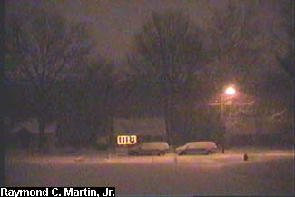
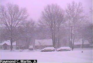
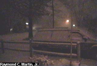
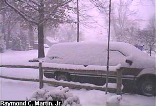
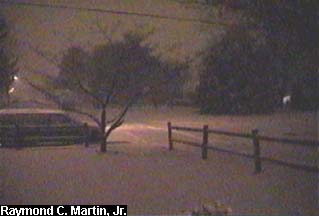
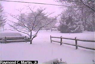
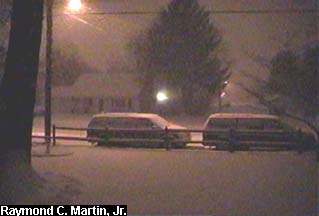
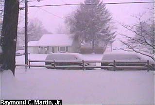
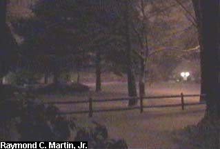
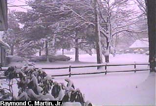
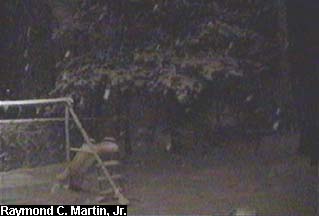
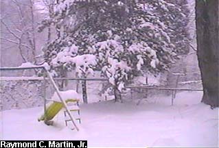
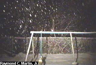
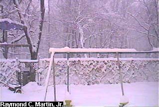
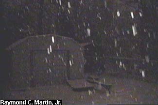
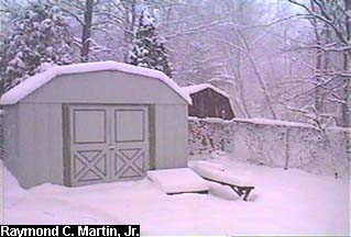
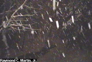
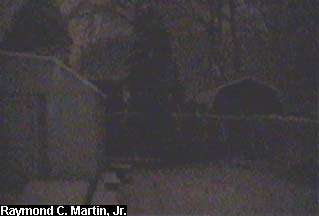
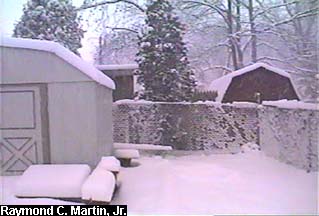
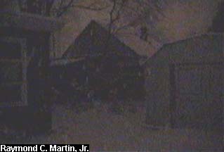
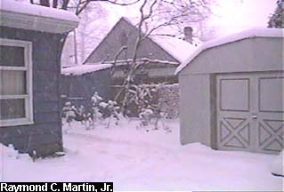
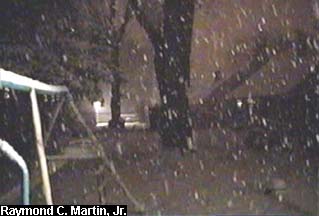
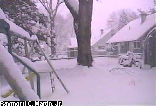
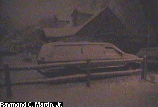
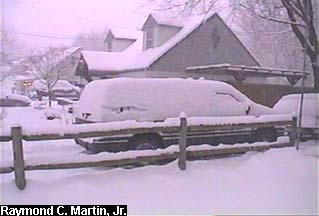
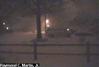
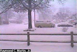
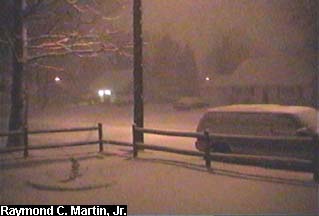
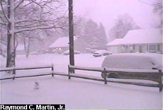
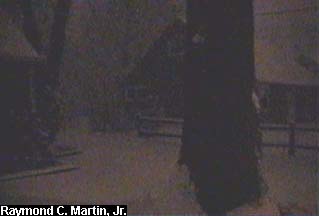
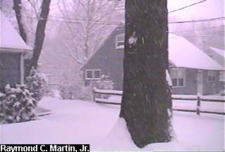
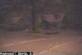
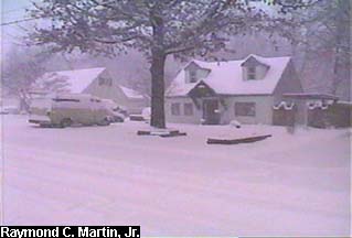
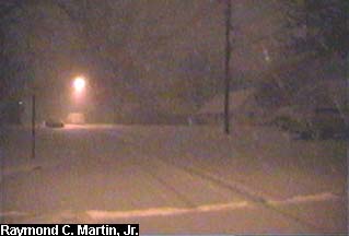
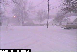
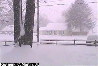
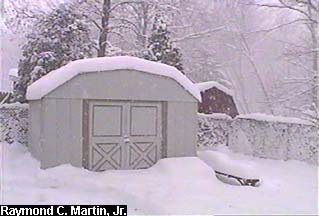
The following pictures were taken with my grandparents' camcorder around my hometown of Ewing, New Jersey during the snowstorm. The left column was taken at 6 AM, while the right column was taken at 8 AM. This storm started at 4 AM and was more or less over by 1 PM. At 6 AM there was about 3 inches of snow, and by 8AM there was 6 inches. By the time the storm was over, 13 inches had fallen, making it the largest snowstorm since the Blizzard of '96 (31 inches).
|
|
|
 |
|
|
 |
|
|
Front view of the house from Dunmore Avenue.
|
|
|
 |
 |
|
|
View from the front door looking right. |
|
|
 |
 |
|
|
View from the front door looking towards the end of the driveway. |
|
|
 |
 |
|
|
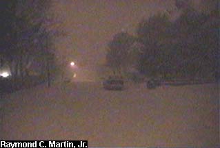
View from the front door looking towards the street light. |
|
|
 |
 |
|
|
View from the front door looking left. |
|
|
 |
 |
|
|
View from the back door looking towards the pine tree. |
|
|
 |
 |
|
|
View from the back door looking towards the swing set. |
|
|
 |
|
|
 |
|
|
View from the back door looking towards the new tool shed. |
|
|
 |
 |
|
|
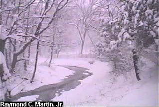
View from behind the back gate looking towards the Shabukunk Creek. |
|
|
 |
 |
|
|
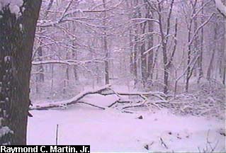
View from behind the back gate looking towards the woods. |
|
|
 |
 |
|
|
View from the back yard looking towards the neighbor's shed. |
|
|
 |
 |
|
|
View from the back yard looking towards my garden. |
|
|
 |
 |
|
|
View from the back yard looking across the neighbors' back yards. |
|
|
 |
 |
|
|
View from the front yard looking towards the neighbor's house. |
|
|
 |
 |
|
|
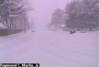
View from the front yard looking up Terrace Boulevard. |
|
|
 |
 |
|
|
View from the front yard looking up Dunmore Avenue. |
|
|
 |
 |
|
|
View from the front yard looking towards the street light. |
|
|
 |
 |
|
|
View from the front yard looking towards the other neighbor's house. |
|
|
 |
 |
|
|
View from the street looking towards the neighbor's house. |
|
|
 |
 |
|
|
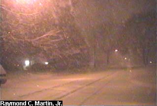
View from the street looking up Terrace Boulevard. |
|
|
 |
 |
|
|
View from the street looking up Dunmore Avenue. |
|
|
 |
 |
|
|
View from the street looking down Terrace Boulevard.
|
|
|
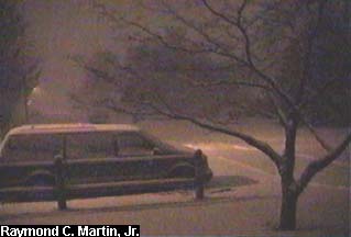
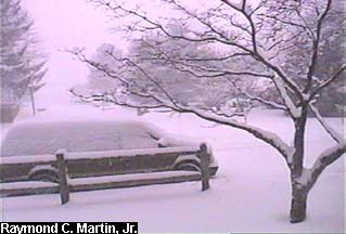
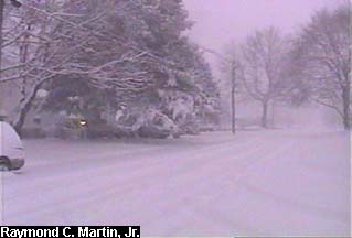
The following two photos were taken during the heaviest snow at about 11 AM. Another 5 inches had accumulated since 8 AM, with about 11 inches total on the ground at the time.
|
|
|
 |
|
 |
|
View from the front door.
|
View from the back door.
|
|
|
Table of Contents
Storm Summary
Regional Surface Observations
National Weather Service Forecasts
Surface Maps
Satellite Imagery
National Surface Weather Maps - Pressure and Fronts Only
Sea Level Pressure and 1000 to 500 Millibar Thickness Maps
850 Millibar Maps
700 Millibar Maps
500 Millibar Maps
300 Millibar Maps
200 Millibar Maps
National Radar Imagery
Local Radar Imagery
Fort Dix Doppler Radar Imagery
Storm Photos
|
|
|
Snow storm, December 19-20, 2000
Snow storm, December 22, 2000
Snow storm, December 30, 2000
Snow storm, January 5, 2001
Snow and ice storm, January 20-21, 2001
Snow storm, February 5, 2001
Snow storm, February 22, 2001
Snow and ice storm, March 4-6, 2001
Back to Ray's Winter Storm Archive |
|
|
Copyright © 2005 by Raymond C Martin Jr. All rights reserved |
|