![]() |
![]() |
![]() |
![]() |
![]() |
![]() |
![]() |
![]() |
![]() |
![]() |
![]() |
![]() |
![]() |
![]() |
![]() |
![]() |
![]() |
![]() |
![]() |
![]() |
![]() |
![]() |
![]() |
![]() |
![]() |
![]() |
![]() |
![]() |
|
 |
|
|
 |
|
|
Storm description, surface observations, snowfall totals, and images courtesy of the National Climatic Data Center, the National Centers of Environmental Prediction, the Climate Prediction Center, the Hydrometeorological Prediction Center, the Mount Holly National Weather Service Office, the Upton National Weather Service Office, Rutgers University, Plymouth State University, the University of Illinois, the American Meteorological Society, Weather Graphics Technologies, AccuWeather, and the Weather Channel.
|
|
|
Table of Contents
Storm Summary
Regional Surface Observations
National Weather Service Forecasts
Surface Maps
Satellite Imagery
National Surface Weather Maps - Pressure and Fronts Only
Continental Surface Weather Maps - Pressure and Fronts Only
Sea Level Pressure and 1000 to 500 Millibar Thickness Maps
850 Millibar Maps
700 Millibar Maps
500 Millibar Maps
300 Millibar Maps
200 Millibar Maps
National Radar Imagery
Regional Radar Imagery
Local Radar Imagery
Fort Dix Doppler Radar Imagery
Storm Photos
|
|
|
STORM PHOTOS
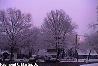
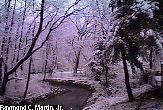
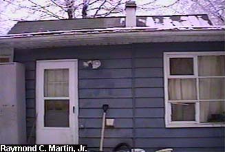
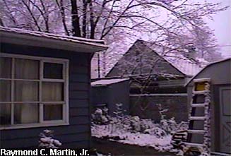
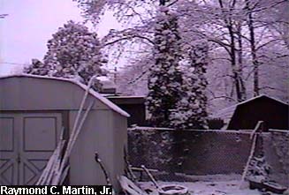
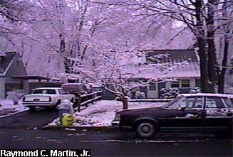
The following pictures were taken with my grandparents' camcorder around my hometown of Ewing, New Jersey at around 8 AM EST January 6, 2003. 2.0 inches accumulated by the end of the storm.
|
|
|
 |
 |
 |
|
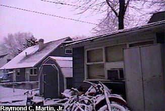
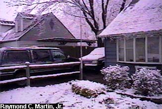
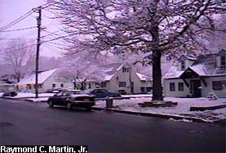
View of the house from Dunmore Avenue.
|
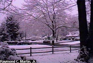
View to the left of the front door, looking southwest.
|
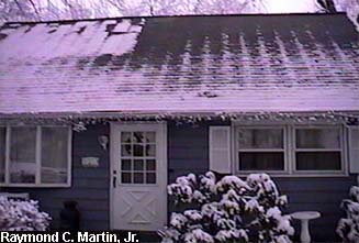
View straight out of the front door, looking west.
|
|
|
 |
 |
 |
|
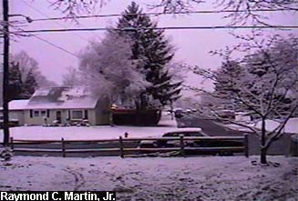
View to the right of the front door, looking northwest.
|
View to the left of the back door, looking northeast.
|
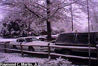
View straight out of the back door, looking east.
|
|
|
 |
 |
 |
|
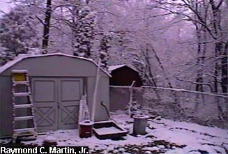
View to the right of the back door, looking southeast.
|
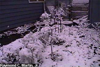
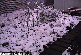
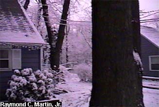
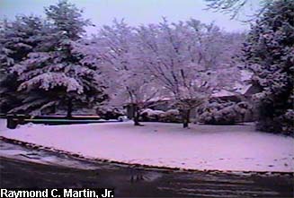
Looking southwest from the northeast side of my original garden. |
Looking northwest from the southeast side of my original garden. |
|
|
 |
 |
 |
|
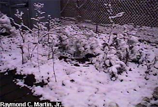
| Looking northeast from the southwest side of my original garden. |
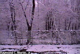
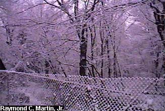
View from behind the back gate, looking north-northeast..
|
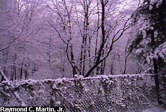
View from behind the back gate, looking east-northeast.
|
|
|
 |
 |
 |
|
View from behind the back gate, looking east-southeast.
|
View from behind the back gate, looking south-southeast..
|
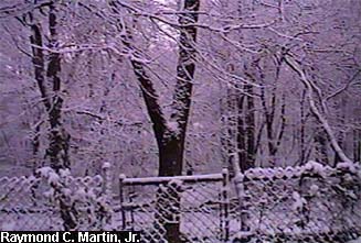
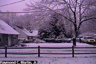
View from the center of the back yard, looking west. |
|
|
 |
 |
 |
|
View from the center of the back yard, looking northwest.
|
View from the center of the back yard, looking north.
|
View from the center of the back yard, looking northeast. |
|
|
 |
 |
 |
|
View from the center of the back yard, looking east.
|
View from the center of the back yard, looking southeast.
|
View from the center of the back yard, looking south. |
|
|
 |
 |
 |
|
View from the center of the back yard, looking southwest.
|
View from the center of the front yard, looking east.
|
View from the center of the front yard, looking southeast. |
|
|
 |
 |
 |
|
View from the center of the front yard, looking south.
|
View from the center of the front yard, looking southwest.
|
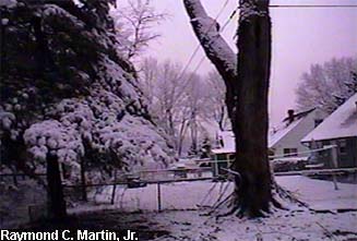
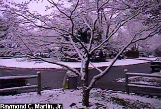
View from the center of the front yard, looking west. |
|
|
 |
 |
 |
|
View from the center of the front yard, looking northwest.
|
View from the center of the front yard, looking north.
|
View from the center of the front yard, looking northeast. |
|
|
 |
 |
 |
|
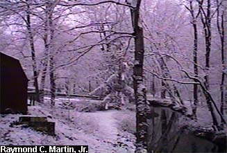
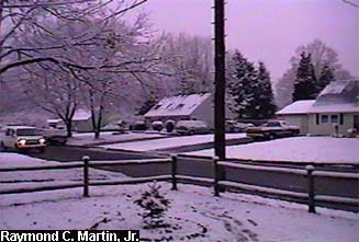
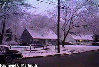
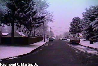
| View from the street in front of my parents' home, looking southeast. |
View from the street in front of my parents' home, looking south. |
View from the street in front of my parents' home, looking southwest. |
|
|
 |
 |
 |
|
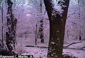
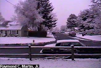
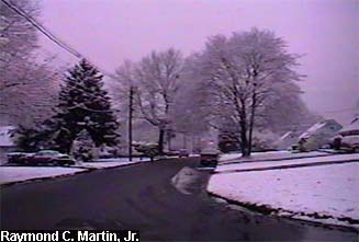
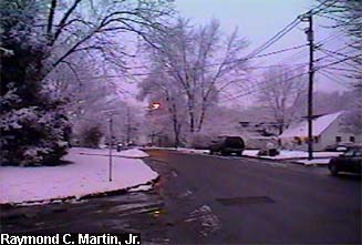
| View from the street in front of my parents' home, looking west. |
View from the street in front of my parents' home, looking northwest. |
View from the street in front of my parents' home, looking north. |
|
|
 |
 |
 |
|
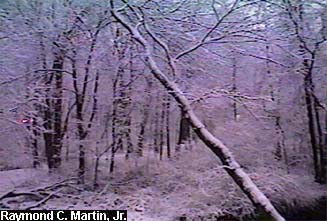
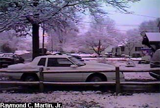
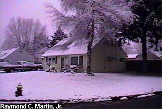
| View from the street in front of my parents' home, looking northeast. |
View from the street in front of my parents' home, looking east. |
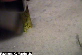
Snow total in Ewing NJ as of 2AM EST January 6 2003: 2.0 inches. |
|
|
Table of Contents
Storm Summary
Regional Surface Observations
National Weather Service Forecasts
Surface Maps
Satellite Imagery
National Surface Weather Maps - Pressure and Fronts Only
Continental Surface Weather Maps - Pressure and Fronts Only
Sea Level Pressure and 1000 to 500 Millibar Thickness Maps
850 Millibar Maps
700 Millibar Maps
500 Millibar Maps
300 Millibar Maps
200 Millibar Maps
National Radar Imagery
Regional Radar Imagery
Local Radar Imagery
Fort Dix Doppler Radar Imagery
Storm Photos
|
|
|
Snow storm, December 5, 2002
Snow and ice storm, December 24-26, 2002
Snow storm, January 5, 2003
Snow storm, January 16-17, 2003
Snow storm, January 29, 2003
Snow storm, February 6-7, 2003
Snow storm, February 16-17, 2003
Snow storm, February 27-28, 2003
Snow and ice storm, March 6, 2003
Snow and ice storm, April 7, 2003
Back to Ray's Winter Storm Archive |
|
|
Copyright © 2006 by Raymond C Martin Jr. All rights reserved |
|