![]() |
![]() |
![]() |
![]() |
![]() |
![]() |
![]() |
![]() |
![]() |
![]() |
![]() |
![]() |
![]() |
![]() |
![]() |
![]() |
![]() |
![]() |
![]() |
![]() |
![]() |
![]() |
![]() |
![]() |
![]() |
![]() |
![]() |
|
 |
|
|
 |
|
|
Storm description, surface observations, snowfall totals, and images courtesy of the National Climatic Data Center, the National Centers of Environmental Prediction, the Climate Prediction Center, the Hydrometeorological Prediction Center, the Mount Holly National Weather Service Office, the Upton National Weather Service Office, Rutgers University, Plymouth State University, the University of Illinois, the American Meteorological Society, Weather Graphics Technologies, AccuWeather, and the Weather Channel.
|
|
|
Table of Contents
Storm Summary
Regional Surface Observations
National Weather Service Forecasts
Surface Maps
Satellite Imagery
National Surface Weather Maps - Pressure and Fronts Only
Continental Surface Weather Maps - Pressure and Fronts Only
Sea Level Pressure and 1000 to 500 Millibar Thickness Maps
850 Millibar Maps
700 Millibar Maps
500 Millibar Maps
300 Millibar Maps
200 Millibar Maps
National Radar Imagery
Regional Radar Imagery
Local Radar Imagery
Fort Dix Doppler Radar Imagery
Storm Photos
|
|
|
STORM PHOTOS
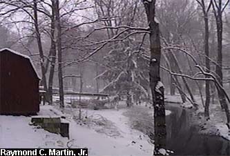
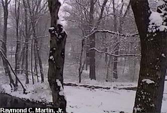
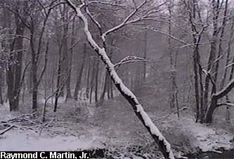
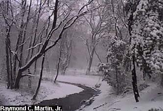
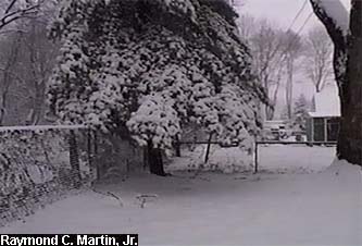
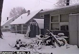
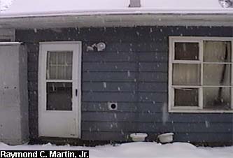
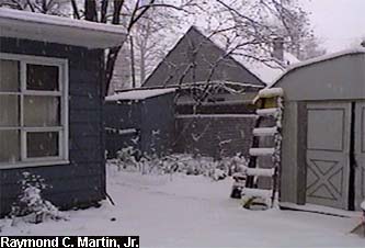
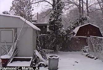
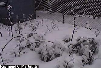
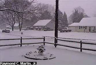
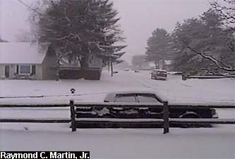
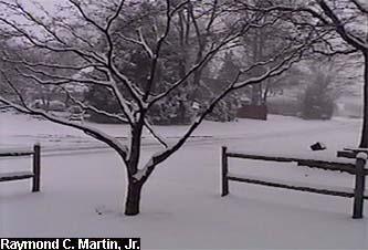
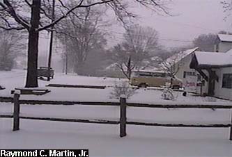
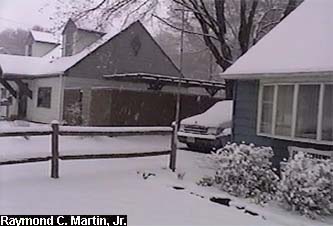
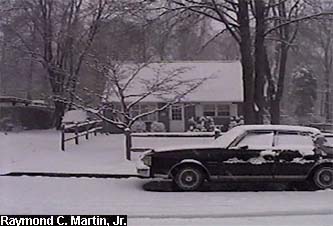
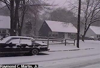
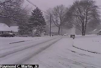
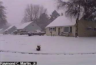
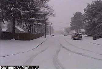
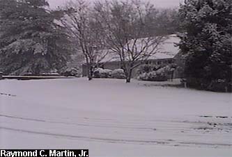
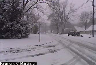
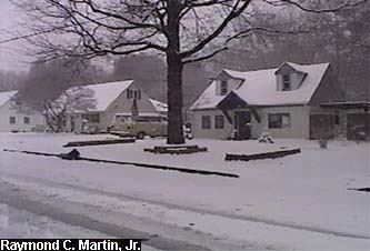
The following pictures were taken with my grandparents' camcorder. The first set were taken around my hometown of Ewing, New Jersey at around 12PM EDT April 7, 2003. 4.6 inches accumulated by the end of the storm in Ewing.
|
|
 |
 |
 |
|
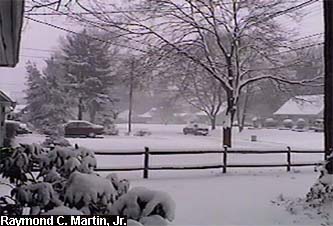
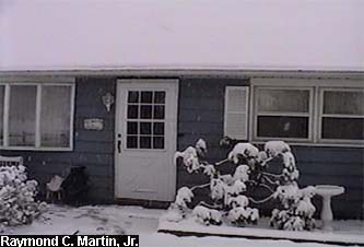
View towards the left from the front door looking southwest.
|
View straight out the front door looking west.
|
View towards the right from the front door looking northwest.
|
|
|
 |
 |
 |
|
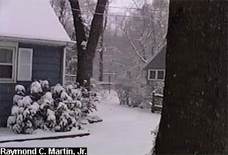
View towards the left from the back door looking northeast.
|
View straight out the back door looking east.
|
View towards the right from the back door looking southeast.
|
|
|
 |
 |
 |
|
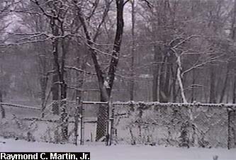
View towards the northeast from behind the back yard.
|
View towards the east-northeast from behind the back yard.
|
View towards the east-southeast from behind the back yard.
|
|
|
 |
 |
 |
|
View towards the southeast from behind the back yard.
|
View towards the south from the back yard.
|
View towards the southwest from the back yard.
|
|
|
 |
 |
 |
|
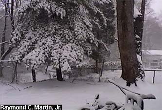
View towards the west from the back yard.
|
View towards the northwest from the back yard.
|
View towards the north from the back yard.
|
|
|
 |
 |
 |
|
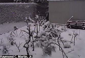
View of the garden from the southeast.
|
View of the garden from the southwest.
|
View towards the east from the front yard.
|
|
|
 |
 |
 |
|
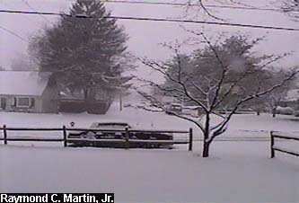
View towards the southeast from the front yard.
|
View towards the south from the front yard.
|
View towards the southwest from the front yard.
|
|
|
 |
 |
 |
|
View towards the west from the front yard.
|
View towards the northwest from the front yard.
|
View towards the north from the front yard.
|
|
|
 |
 |
 |
|
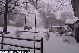
View towards the northeast from the front yard.
|
View towards the east from the street.
|
View towards the southeast from the street.
|
|
|
 |
 |
 |
|
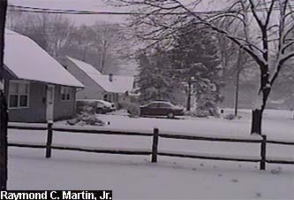
View towards the south from the street.
|
View towards the southwest from the street.
|
View towards the west from the street.
|
|
|
 |
 |
 |
|
View towards the northwest from the street.
|
View towards the north from the street.
|
View towards the northeast from the street.
|
|
|
 |
|
|
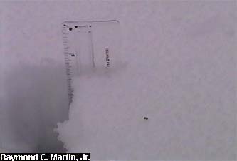
Snow total as of 3PM EDT April 7, 2003: 4.6 inches.
|
|
|
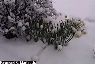
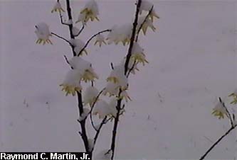
The next set of photos were taken around my parent's home in Ewing, New Jersey between 12PM EDT and 3PM EDT on April 7, 2003, and spotlight the "spring" aspects of the snow, as well as some tree damage that the heavy, wet snow produced.
|
|
|
 |
 |
 |
|
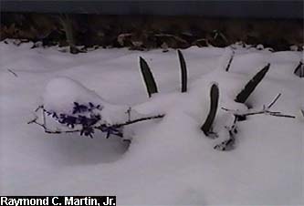
Daffodil blooms in the snow.
|
Forsythia blooms in the snow.
|
Hyacynth blooms in the snow.
|
|
|
 |
 |
 |
|
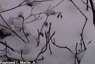
Young Japanese Maple folliage in the snow.
|
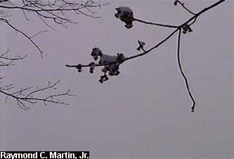
Red Maple blooms in the snow.
|
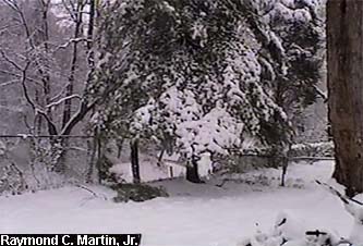
Snow damage to the White Pine tree.
|
|
|
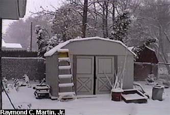
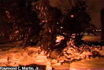
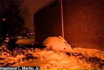
The final set of photos were taken around my Cook College apartment in New Brunswick, New Jersey around 12AM EDT on April 8, 2003, and spotlight some more tree damage that the heavy, wet snow produced.
|
|
|
 |
 |
|
|
Top of an uprooted 25 foot Himalayan Pine tree.
|
Base of the uprooted 25 foot Himalayan Pine tree.
|
|
|
Table of Contents
Storm Summary
Regional Surface Observations
National Weather Service Forecasts
Surface Maps
Satellite Imagery
National Surface Weather Maps - Pressure and Fronts Only
Continental Surface Weather Maps - Pressure and Fronts Only
Sea Level Pressure and 1000 to 500 Millibar Thickness Maps
850 Millibar Maps
700 Millibar Maps
500 Millibar Maps
300 Millibar Maps
200 Millibar Maps
National Radar Imagery
Regional Radar Imagery
Local Radar Imagery
Fort Dix Doppler Radar Imagery
Storm Photos
|
|
|
Snow storm, December 5, 2002
Snow and ice storm, December 24-26, 2002
Snow storm, January 5, 2003
Snow storm, January 16-17, 2003
Snow storm, January 29, 2003
Snow storm, February 6-7, 2003
Snow storm, February 16-17, 2003
Snow storm, February 27-28, 2003
Snow and ice storm, March 6, 2003
Snow and ice storm, April 7, 2003
Back to Ray's Winter Storm Archive |
|
|
Copyright © 2006 by Raymond C Martin Jr. All rights reserved |
|