![]() |
![]() |
![]() |
![]() |
![]() |
![]() |
![]() |
![]() |
![]() |
![]() |
![]() |
![]() |
![]() |
![]() |
![]() |
![]() |
![]() |
![]() |
![]() |
![]() |
![]() |
![]() |
|
 |
|
|
 |
|
|
Storm description, surface observations, snowfall totals, and images courtesy of the National Climatic Data Center, the National Centers of Environmental Prediction, the Climate Prediction Center, the Hydrometeorological Prediction Center, the Mount Holly National Weather Service Office, the Upton National Weather Service Office, Rutgers University, Plymouth State University, the University of Illinois, the American Meteorological Society, Weather Graphics Technologies, AccuWeather, and the Weather Channel.
|
|
|
Table of Contents
Storm Summary
Regional Surface Observations
National Weather Service Forecasts
Surface Maps
Satellite Imagery
National Surface Weather Maps - Pressure and Fronts Only
Continental Surface Weather Maps - Pressure and Fronts Only
Sea Level Pressure and 1000 to 500 Millibar Thickness Maps
850 Millibar Maps
700 Millibar Maps
500 Millibar Maps
300 Millibar Maps
200 Millibar Maps
National Radar Imagery
Regional Radar Imagery
Local Radar Imagery
Fort Dix Doppler Radar Imagery
Storm Photos
|
|
|
STORM PHOTOS
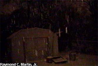
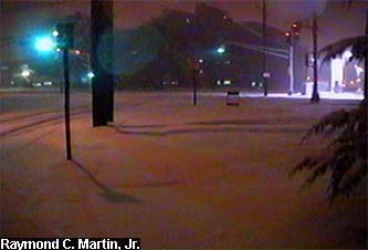
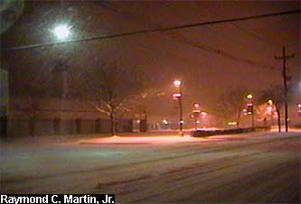
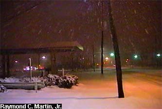
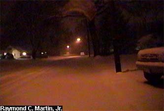
The following pictures were taken with my grandparents' camcorder around my hometown of Ewing, New Jersey at around 2 AM EST February 7, 2003. 7.0 inches accumulated by the end of the storm.
Instead of the usual tour of photos just around the house, in this storm I took a walk around the neighborhood. I proceeded northwest on Terrace Boulevard to the end, then turned left onto Lower Ferry Road southbound. I then proceeded to Parkway Avenue and turned left again. I continued southbound on Parkway Avenue to the intersection of North Olden Avenue Extension, where I again turned left. I continued southeastbound until Glen Mawr Drive, where I turned left again. I headed northbound on Glen Mawr Drive until reaching Glen Clair Drive, when I turned right. I proceeded on Glen Clair Drive until reaching the other end of Terrace Boulevard, when I turned left. Finally I proceeded northbound on Terrace Boulevard and returned home. Total distance was approximately 3 miles, and took approximately 1 hour.
|
|
 |
 |
 |
|
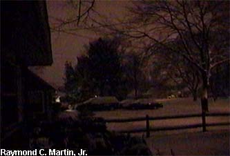
View towards the left from the back door looking northeast.
|
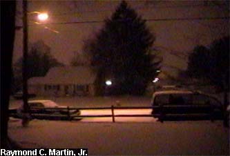
View straight out the back door looking east.
|
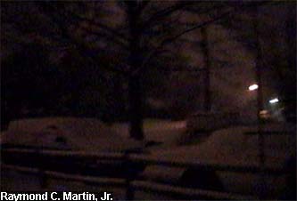
View towards the right from the back door looking southeast.
|
|
|
 |
 |
 |
|
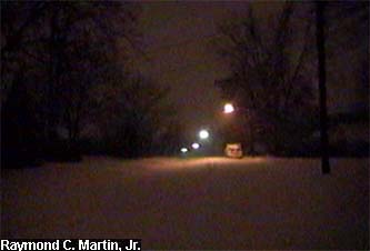
View towards the left from the front door looking southwest.
|
View straight out the front door looking west.
|
View towards the right from the front door looking northwest.
|
|
 |
 |
 |
|
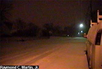
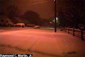
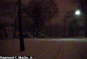
Northbound on Terrace Boulevard in front of the house.
|
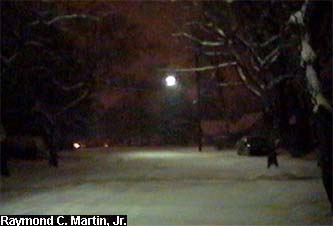
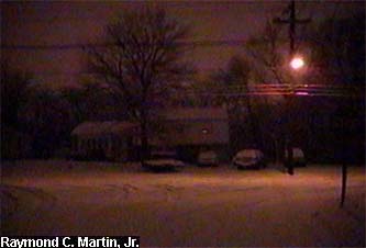
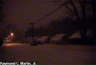
Northbound on Terrace Boulevard at Rutledge Avenue.
|
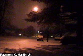
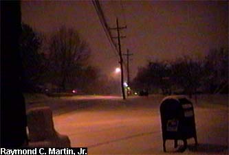
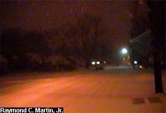
Northwestbound on Terrace Boulevard at the curve.
|
|
 |
 |
 |
|
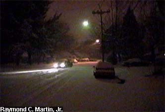
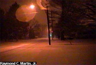
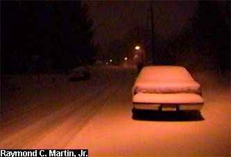
Westbound on Terrace Boulevard at Beacon Avenue.
|
Westbound on Terrace Boulevard at Meriden Avenue.
|
Westbound on Terrace Boulevard at the S-curve.
|
|
 |
 |
 |
|
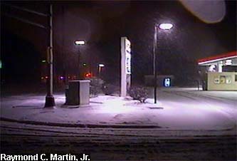
| Westbound at the end of Terrace Boulevard at Lower Ferry Road. |
Southbound on Lower Ferry Road at Duke Street.
|
Southbound on Lower Ferry Road at Winthrop Avenue.
|
|
|
 |
 |
 |
|
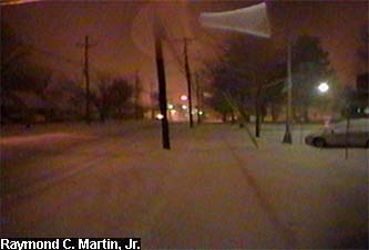
Southbound on Lower Ferry Road at Parkway Avenue.
|
Crossing Parkway Avenue at Lower Ferry Road.
|
Southbound on Parkway Avenue at Stratford Avenue.
|
|
|
 |
 |
 |
|
Southbound on Parkway Avenue at Rutledge Avenue.
|
Crossing Parkway Avenue to Ewing Square at Dunmore Avenue. |
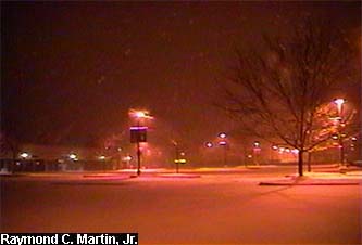
Southbound along Parkway Avenue through the Ewing Square parking lot. |
|
|
 |
 |
|
|
 |
|
| Entering the Ewing High School parking lot from southbound on Parkway Avenue. |
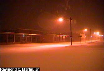
Southbound in front of Ewing High School along Parkway Avenue. |
Southbound on Parkway Avenue at Olden Avenue. |
|
|
 |
 |
 |
|
| Southeastbound on Olden Avenue at the Glendale Shopping Center. |
Southeastbound on Olden Avenue at Glen Mawr Drive.
|
Northbound on Glen Mawr Drive at White Oak Way.
|
|
|
 |
 |
|
|
 |
|
| Turning eastbound on Glen Clair Drive from northbound Glen Mawr Drive. |
Eastbound on Glen Clair Drive at Terrace Boulevard.
|
Northbound at the beginning of Terrace Boulevard.
|
|
|
 |
 |
 |
|
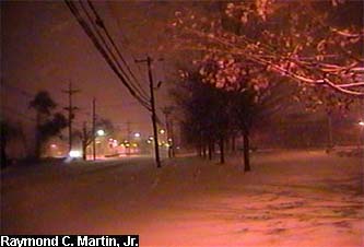
Northbound on Terrace Boulevard at Wallace Avenue.
|
Northbound on Terrace Boulevard at Farrell Avenue.
|
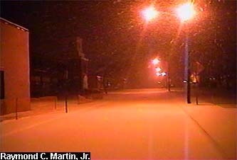
Northbound on Terrace Boulevard at Walton Avenue.
|
|
|
 |
|
|
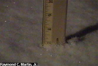
Snow total as of 5AM EST February 8, 2003: 7.0 inches.
|
|
|
Table of Contents
Storm Summary
Regional Surface Observations
National Weather Service Forecasts
Surface Maps
Satellite Imagery
National Surface Weather Maps - Pressure and Fronts Only
Continental Surface Weather Maps - Pressure and Fronts Only
Sea Level Pressure and 1000 to 500 Millibar Thickness Maps
850 Millibar Maps
700 Millibar Maps
500 Millibar Maps
300 Millibar Maps
200 Millibar Maps
National Radar Imagery
Regional Radar Imagery
Local Radar Imagery
Fort Dix Doppler Radar Imagery
Storm Photos
|
|
|
Snow storm, December 5, 2002
Snow and ice storm, December 24-26, 2002
Snow storm, January 5, 2003
Snow storm, January 16-17, 2003
Snow storm, January 29, 2003
Snow storm, February 6-7, 2003
Snow storm, February 16-17, 2003
Snow storm, February 27-28, 2003
Snow and ice storm, March 6, 2003
Snow and ice storm, April 7, 2003
Back to Ray's Winter Storm Archive |
|
|
Copyright © 2006 by Raymond C Martin Jr. All rights reserved |
|