![]() |
![]() |
![]() |
![]() |
![]() |
![]() |
![]() |
![]() |
![]() |
![]() |
![]() |
![]() |
![]() |
![]() |
![]() |
![]() |
![]() |
![]() |
![]() |
![]() |
![]() |
![]() |
![]() |
![]() |
![]() |
|
 |
|
|
 |
|
|
Storm description, surface observations, snowfall totals, and images courtesy of the National Climatic Data Center, the National Centers of Environmental Prediction, the Climate Prediction Center, the Hydrometeorological Prediction Center, the Mount Holly National Weather Service Office, the Upton National Weather Service Office, Rutgers University, Plymouth State University, the University of Illinois, the American Meteorological Society, Weather Graphics Technologies, AccuWeather, and the Weather Channel.
|
|
|
Table of Contents
Storm Summary
Regional Surface Observations
National Weather Service Forecasts
Surface Maps
Satellite Imagery
National Surface Weather Maps - Pressure and Fronts Only
Continental Surface Weather Maps - Pressure and Fronts Only
Sea Level Pressure and 1000 to 500 Millibar Thickness Maps
850 Millibar Maps
700 Millibar Maps
500 Millibar Maps
300 Millibar Maps
200 Millibar Maps
National Radar Imagery
Regional Radar Imagery
Local Radar Imagery
Fort Dix Doppler Radar Imagery
Storm Photos
|
|
|
STORM PHOTOS
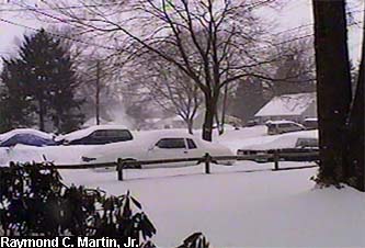
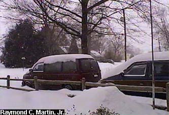
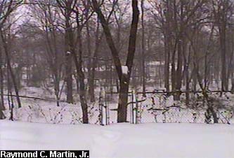
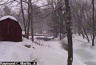
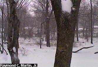
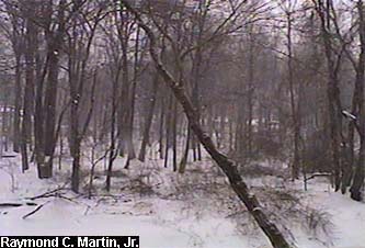
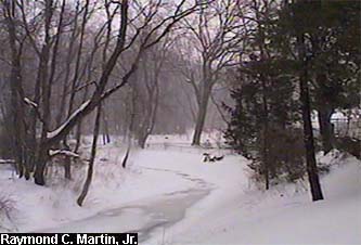
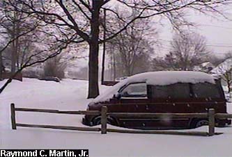
The following pictures were taken with my grandparents' camcorder around my hometown of Ewing, New Jersey. 15.1 inches of snow accumulated in Ewing by the end of the storm.
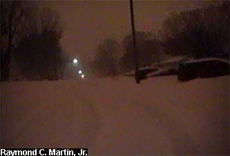
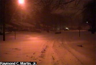
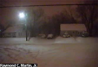
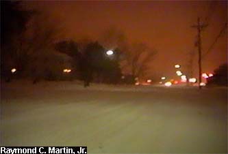
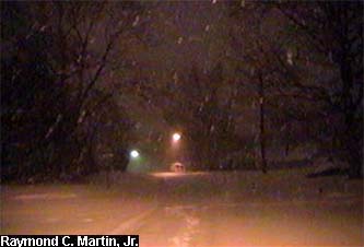
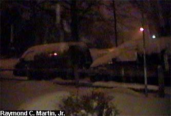
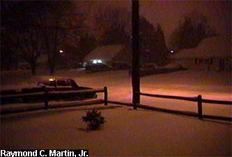
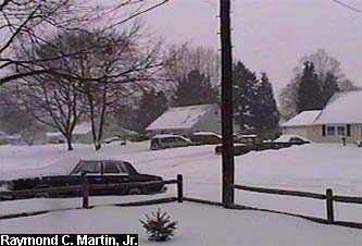
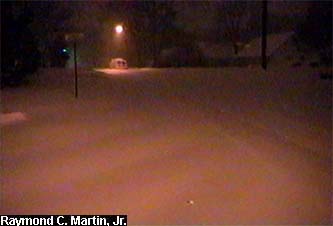
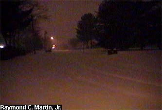
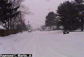
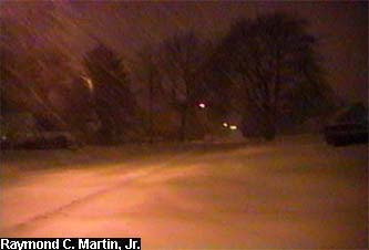
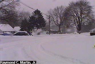
I recorded several sets of images during this storm. The first set of photos are a walk around the neighborhood and was recorded between 2AM and 3:30 AM EST February 17, 2003. I reversed the route I took in the previous storm, proceeding southbound on Terrace Boulevard to the end, then turned right onto westbound Glen Clair Drive. I proceeded to the end, then turned left onto southbound Glen Mawr Drive. I proceeded to the end again, and then turned right onto northwestbound North Olden Avenue Extension. I proceeded to the end of again and then turned right onto northbound Parkway Avenue. I proceeded on Parkway Avenue until Lower Ferry Road, where I again turned right onto northbound Lower Ferry Road. I continued northbound until Terrace Boulevard, where I turned right a final time and proceeded southeastbound until returning home. Total distance was approximately 3 miles, but due to the depth of the snowfall (close to 10 inches at this point) and the unplowed nature of virtually every street, it took about 1 and 1/2 hours to complete this time around, 1/2 hour longer than in the previous storm.
|
|
|
 |
 |
 |
|
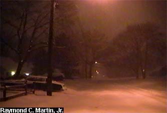
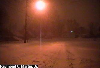
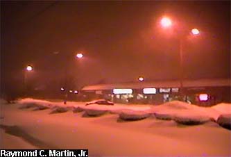
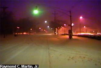
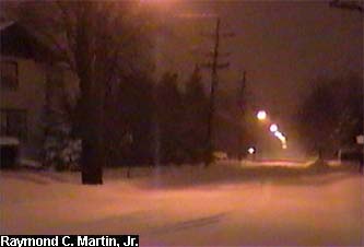
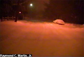
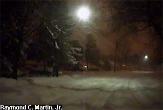
| Southbound on Terrace Boulevard at Dunmore Avenue. |
Southbound on Terrace Boulevard at Walton Avenue. |
Southbound on Terrace Boulevard at Farrell Avenue. |
|
|
 |
 |
 |
|
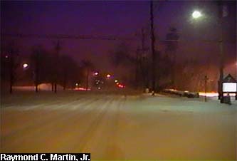
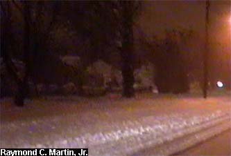
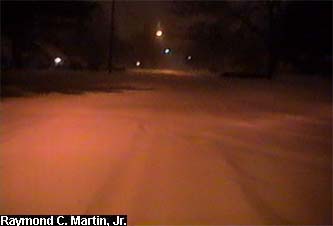
| Southbound on Terrace Boulevard at Wallace Avenue. |
Southbound on Terrace Boulevard at Durham Avenue. |
Southbound on Terrace Boulevard at Glen Clair Drive. |
|
|
 |
 |
 |
|
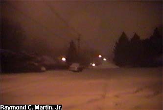
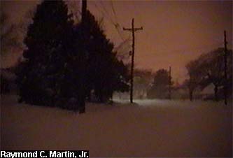
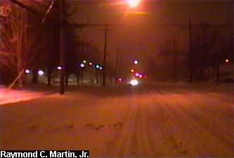
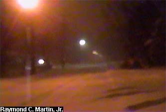
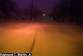
| Westbound on Glen Clair Drive at Terrace Boulevard. |
Westbound on Glen Clair Drive at Glen Mawr Drive. |
Southbound on Glen Mawr Drive at Glen Clair Drive. |
|
|
 |
 |
 |
|
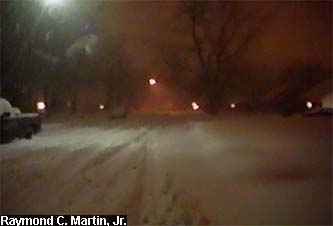
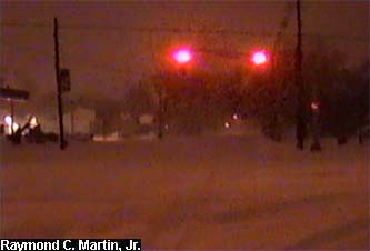
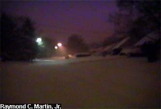
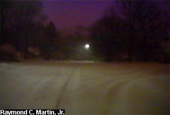
| Southbound on Glen Mawr Drive at White Oak Way. |
Southbound on Glen Mawr Drive at North Olden Avenue. |
Northwestbound on North Olden Avenue at Glen Mawr Drive. |
|
|
 |
 |
 |
|
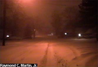
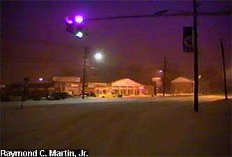
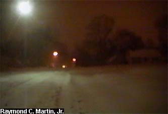
| Northwestbound on North Olden Avenue north of Pingree Avenue. |
Northwestbound on North Olden Avenue at Parkway Avenue. |
Northbound on Parkway Avenue at North Olden Avenue. |
|
|
 |
 |
 |
|
Northbound on Parkway Avenue at Ewing High School.
|
Northbound on Parkway Avenue at Farrell Avenue.
|
Northbound on Parkway Avenue at Dunmore Avenue.
|
|
|
 |
 |
 |
|
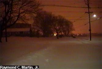
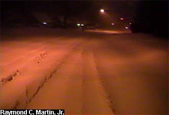
Northbound on Parkway Avenue at Rutledge Avenue.
|
Northbound on Parkway Avenue at Lower Ferry Road.
|
Northbound on Lower Ferry Road at Parkway Avenue.
|
|
|
 |
 |
 |
|
Northbound on Lower Ferry Road at Fireside Avenue.
|
Northbound on Lower Ferry Road at Terrace Boulevard.
|
Eastbound on Terrace Boulevard at Lower Ferry Road.
|
|
|
 |
 |
 |
|
Eastbound on Terrace Boulevard at Meriden Avenue.
|
Eastbound on Terrace Boulevard at Beaon Avenue.
|
Eastbound on Terrace Boulevard at Stratford Avenue.
|
|
|
 |
 |
 |
|
Eastbound on Terrace Boulevard at Scarsdale Avenue.
|
Southeastbound on Terrace Boulevard at the curve.
|
Southbound on Terrace Boulevard at Rutledge Avenue.
|
|
|
 |
|
|
Southbound on Terrace Boulevard between Rutledge Avenue and Dunmore Avenue. |
|
|
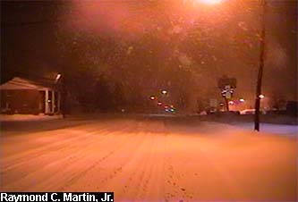
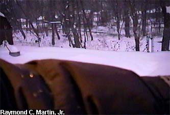
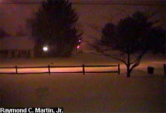
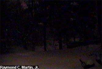
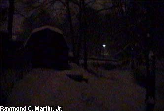
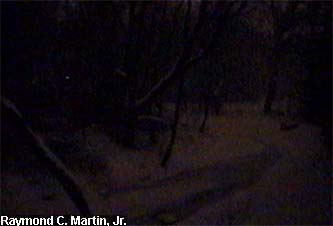
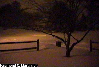
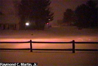
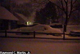
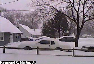
This second set of pictures chronicles two defining moments of the storm. The first, showing the heaviest snowfall, were taken around 5AM, February 17, 2003 as the heaviest snowband was moving through.
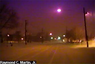
The second, showing sleet, were taken around 7AM February 17, 2003 just after the snow had changed to sleet. The period of sleet did not last very long, but the change in precipitation type signalled the end of the main period of accumulating snow.
|
|
|
 |
 |
|
|
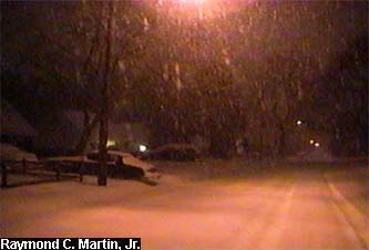
The heaviest snowfall around 5AM February 17, 2003.
|
|
|
 |
|
|
 |
|
|
The change to sleet around 7AM February 17, 2003.
|
|
|
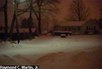
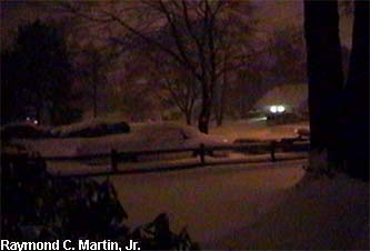
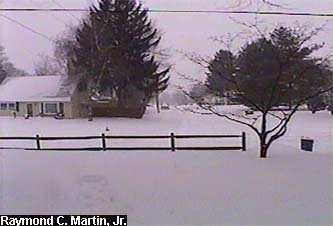
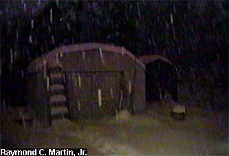
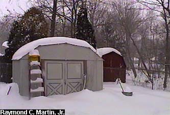
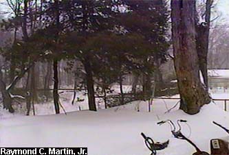
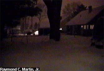
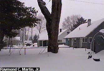
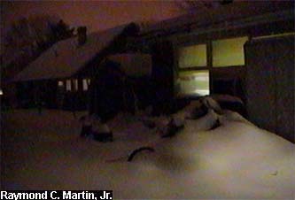
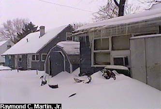
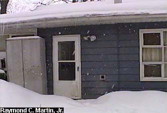
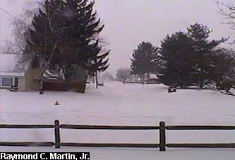
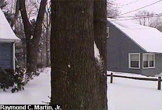
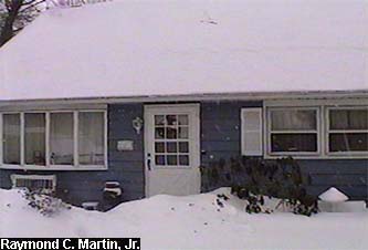
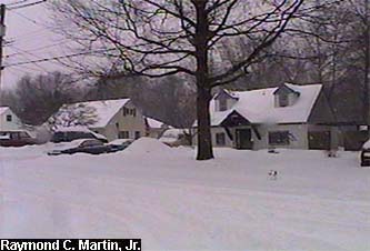
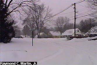
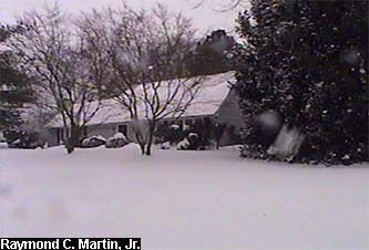
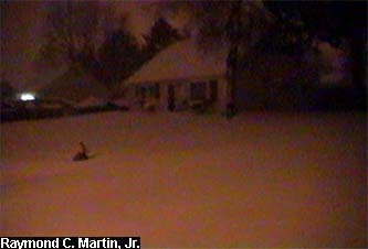
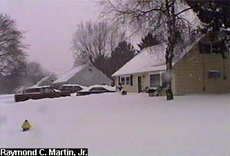
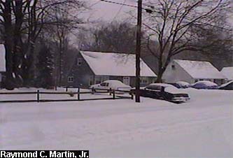
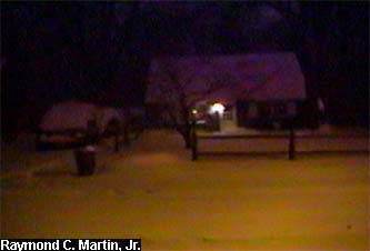
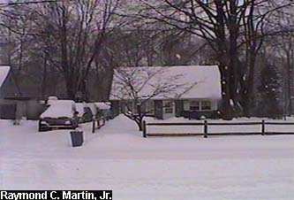
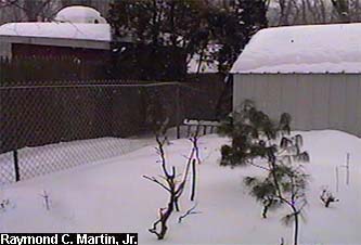
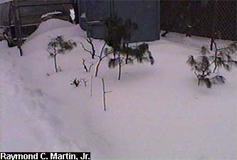
Finally, the typical tour around my parents' home in Ewing, NJ. The left column was taken around 4AM EST Febuary 17, 2003, whlie the right column was taken around 12PM EST February 17, 2003.
|
|
|
 |
 |
|
|
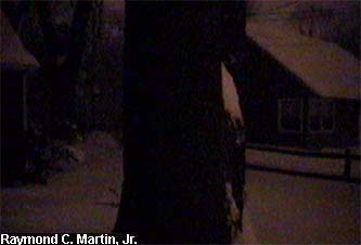
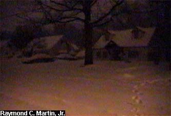
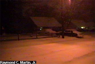
Looking left from the front door towards the southwest.
|
|
|
 |
 |
|
|
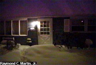
Looking straight from the front door towards the west.
|
|
|
 |
 |
|
|
Looking right from the front door towards the northwest.
|
|
|
 |
 |
|
|
Looking left from the back door towards the northeast.
|
|
|
 |
 |
|
|
Looking straight from the back door towards the east.
|
|
|
 |
 |
|
|
Looking right from the back door towards the southeast.
|
|
|
 |
 |
|
|
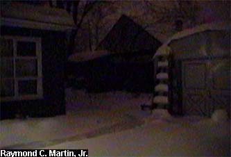
Looking north-northeast from behind the back gate.
|
|
|
 |
 |
|
|
Looking east-northeast from behind the back gate.
|
|
|
 |
 |
|
|
Looking east-southeast from behind the back gate.
|
|
|
 |
 |
|
|
Looking south-southeast from behind the back gate.
|
|
|
 |
 |
|
|
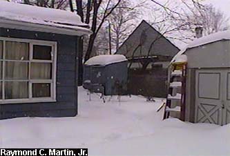
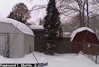
Looking south from the center of the back yard.
|
|
|
 |
 |
|
|
Looking southwest from the center of the back yard.
|
|
|
 |
 |
|
|
Looking west from the center of the back yard.
|
|
|
 |
 |
|
|
Looking northwest from the center of the back yard.
|
|
|
 |
 |
|
|
Looking north from the center of the back yard.
|
|
|
 |
 |
|
|
Looking northeast from the center of the front yard.
|
|
|
 |
 |
|
|
Looking north from the center of the front yard.
|
|
|
 |
 |
|
|
Looking northwest from the center of the front yard.
|
|
|
 |
 |
|
|
Looking west from the center of the front yard.
|
|
|
 |
 |
|
|
Looking southwest from the center of the front yard.
|
|
|
 |
 |
|
|
Looking south from the center of the front yard.
|
|
|
 |
 |
|
|
Looking southeast from the center of the front yard.
|
|
|
 |
 |
|
|
Looking east from the center of the front yard.
|
|
|
 |
 |
|
|
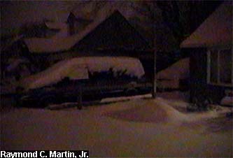
Looking northeast from the street in front of the house.
|
|
|
 |
 |
|
|
Looking north from the street in front of the house.
|
|
|
 |
 |
|
|
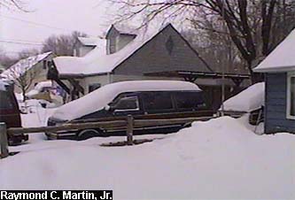
Looking northwest from the street in front of the house.
|
|
|
 |
 |
|
|
Looking west from the street in front of the house.
|
|
|
 |
 |
|
|
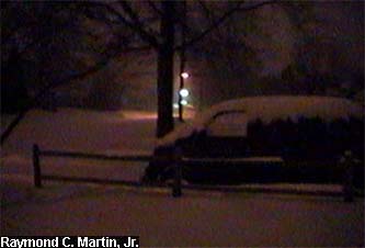
Looking southwest from the street in front of the house.
|
|
|
 |
 |
|
|
Looking south from the street in front of the house.
|
|
|
 |
 |
|
|
Looking southeast from the street in front of the house.
|
|
|
 |
 |
|
|
Looking southeast from the street in front of the house.
|
|
|
 |
 |
|
|
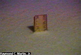
Snow total as of 4AM February 17, 2003: 10.5 inches.
|
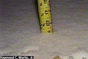
Snow totals as of 6PM February 17, 2003: 15.1 inches.
|
|
|
And two random garden pictures...
|
|
|
 |
 |
|
|
View from the southwest side.
|
View from the southeast side.
|
|
|
Table of Contents
Storm Summary
Regional Surface Observations
National Weather Service Forecasts
Surface Maps
Satellite Imagery
National Surface Weather Maps - Pressure and Fronts Only
Continental Surface Weather Maps - Pressure and Fronts Only
Sea Level Pressure and 1000 to 500 Millibar Thickness Maps
850 Millibar Maps
700 Millibar Maps
500 Millibar Maps
300 Millibar Maps
200 Millibar Maps
National Radar Imagery
Regional Radar Imagery
Local Radar Imagery
Fort Dix Doppler Radar Imagery
Storm Photos
|
|
|
Snow storm, December 5, 2002
Snow and ice storm, December 24-26, 2002
Snow storm, January 5, 2003
Snow storm, January 16-17, 2003
Snow storm, January 29, 2003
Snow storm, February 6-7, 2003
Snow storm, February 16-17, 2003
Snow storm, February 27-28, 2003
Snow and ice storm, March 6, 2003
Snow and ice storm, April 7, 2003
Back to Ray's Winter Storm Archive |
|
|
Copyright © 2006 by Raymond C Martin Jr. All rights reserved |
|