

Table of Contents
Storm Summary
Regional Surface Observations
National Weather Service Forecasts
Surface Maps
Satellite Imagery
National Surface Weather Maps - Pressure and Fronts Only
Continental Surface Weather Maps - Pressure and Fronts Only
Sea Level Pressure and 1000 to 500 Millibar Thickness Maps
850 Millibar Maps
700 Millibar Maps
500 Millibar Maps
300 Millibar Maps
200 Millibar Maps
National Radar Imagery
Regional Radar Imagery
Local Radar Imagery
Fort Dix Doppler Radar Imagery
Storm Photos
STORM PHOTOS
The following pictures were taken with my grandparents' camcorder around my hometown of Ewing, New Jersey. This storm came in two parts. The first was a quick inch of wet snow which came with the first band of precipitation late on December 24th and early on December 25th. This was separated from the second part (which arrived on the afternoon of December 25th) by a period of heavy rain during the morning of December 25th which completely melted the first inch of snow. The rain then changed to snow and briefly became heavy around 4PM on the afternoon of December 25th before gradually tapering off and ending just after midnight on December 26th. Lightning and thunder also accompanied the heavy burst of snow, but it went unreported in the official observations. 2.0 inches accumulated with the second part of the storm, resulting in a storm total of 3.0 inches in Ewing.
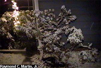
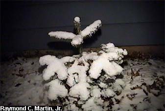
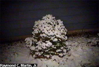
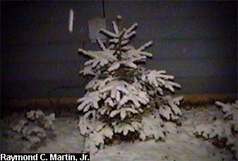
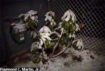
These first photos below are pictures of evergreens I planted and tended on the south side of my parents' home in Ewing, and were taken during the first part of the storm early Christmas morning.
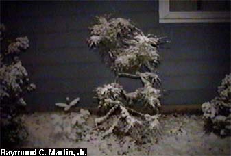
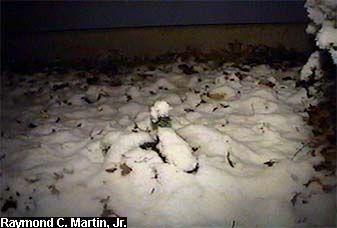
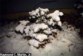
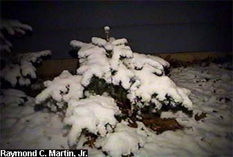
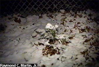
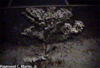
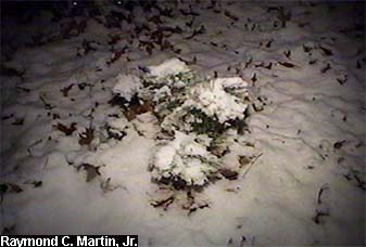
The rest of the photos are all duplicates. The first set, on the left, was taken during the first part of the storm, just after the height of the first band of snow at 2AM Wednesday December 25, 2002. About 1 inch of snow was on the ground. The second set, on the right, was taken during the second part of the storm, just after the height of the second band of snow at 5PM Wednesday December 25, 2002. The 1 inch from early in the morning had melted in the heavy rain that fell afterwards, but another 1.5 inches had already accumulated from the second band of snow.
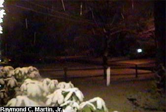
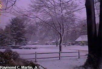
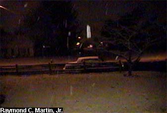
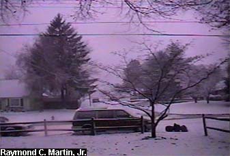
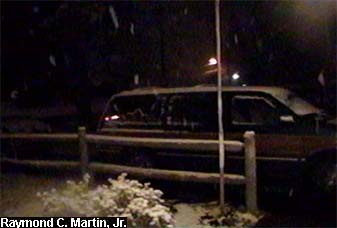
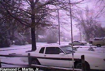
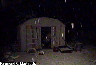
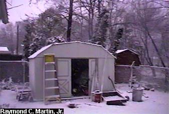
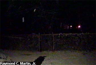
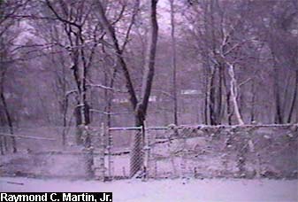

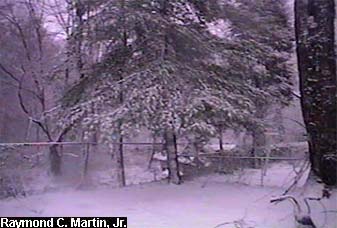
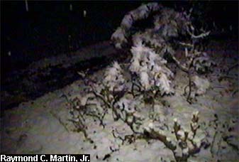
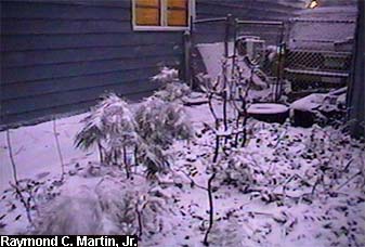
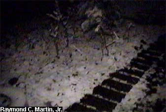
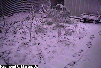

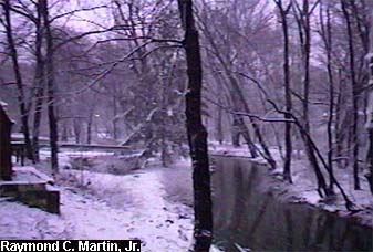

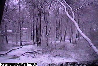

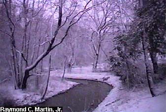

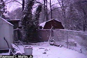
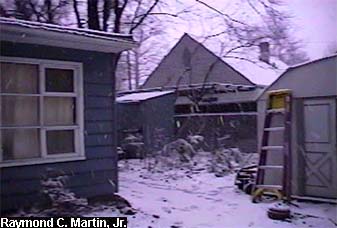

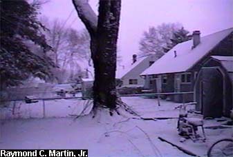
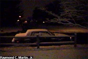
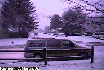
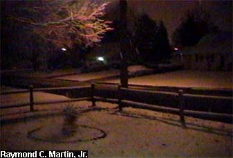
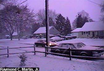
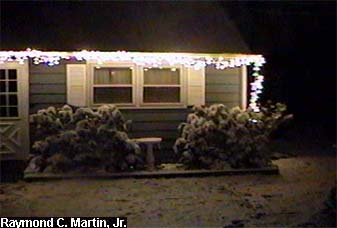

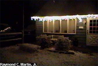
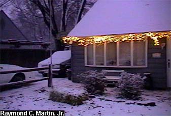

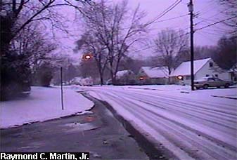

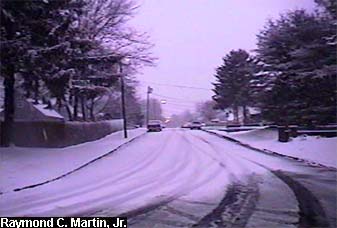

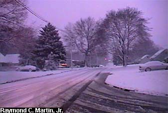
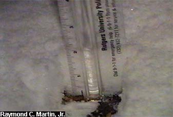
Table of Contents
Storm Summary
Regional Surface Observations
National Weather Service Forecasts
Surface Maps
Satellite Imagery
National Surface Weather Maps - Pressure and Fronts Only
Continental Surface Weather Maps - Pressure and Fronts Only
Sea Level Pressure and 1000 to 500 Millibar Thickness Maps
850 Millibar Maps
700 Millibar Maps
500 Millibar Maps
300 Millibar Maps
200 Millibar Maps
National Radar Imagery
Regional Radar Imagery
Local Radar Imagery
Fort Dix Doppler Radar Imagery
Storm Photos
Snow and ice storm, December 24-26, 2002
Snow storm, January 5, 2003
Snow storm, January 16-17, 2003
Snow storm, January 29, 2003
Snow storm, February 6-7, 2003
Snow storm, February 16-17, 2003
Snow storm, February 27-28, 2003
Snow and ice storm, March 6, 2003
Snow and ice storm, April 7, 2003
Back to Ray's Winter Storm Archive